Description
Offshore Geo-Survey System
Model: TAY-GS Series | Date: August 22, 2025
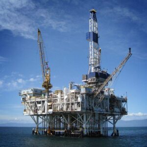
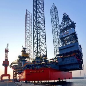
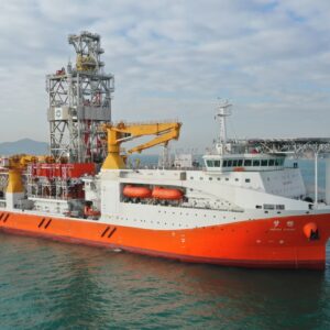
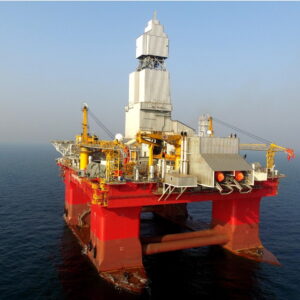
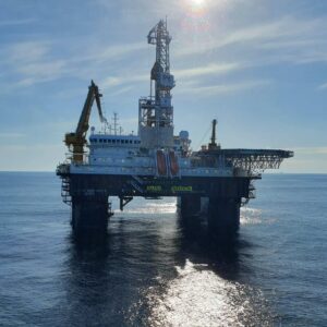
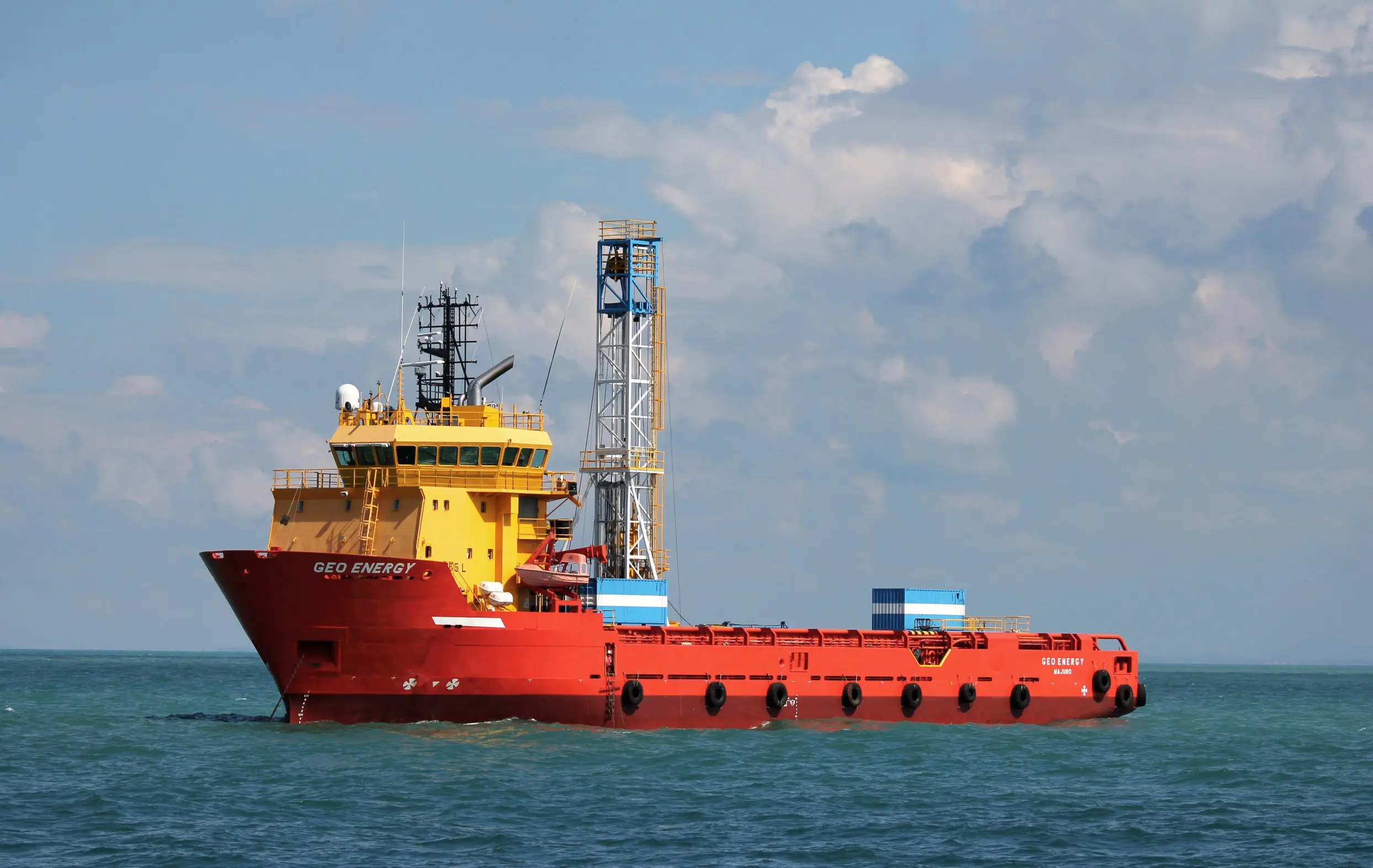
The TAYMA Offshore Geo-Survey System is an integrated suite of advanced geophysical tools designed for precise seabed and sub-seabed mapping in offshore environments. Engineered for applications such as pipeline route surveys, geohazard detection, and site assessments for offshore structures, this system combines cutting-edge technologies to deliver high-resolution data essential for informed decision-making in marine construction and energy projects.
Key Features
-
Advanced Survey Technologies: Equipped with multi-beam and single-beam echo sounders, side-scan sonars, sub-bottom profilers, and magnetometers to capture comprehensive seabed and sub-seabed data.
-
High-Resolution Imaging: Utilizes high-frequency sonar systems for detailed imaging of underwater features, enabling accurate mapping of the seafloor and detection of anomalies.
-
Real-Time Data Processing: Onboard processing capabilities allow for immediate data analysis, facilitating timely decision-making during field operations.
-
Geohazard Identification: Capable of detecting potential geohazards such as pockmarks, gas seeps, and unstable sediments, crucial for safe offshore development.
-
Versatile Deployment Options: Designed for deployment from various platforms, including survey vessels and remotely operated vehicles (ROVs), ensuring flexibility across different project requirements.
Applications
-
Pipeline and Cable Route Surveys: Mapping of potential routes to assess feasibility and identify potential obstacles.
-
Geohazard Assessment: Identifying risks like unstable sediments or submerged debris that could impact offshore infrastructure.
-
Site Investigations for Offshore Structures: Providing essential data for the planning and design of platforms, wind turbines, and other offshore installations.
-
Environmental Monitoring: Assessing the impact of offshore activities on the surrounding marine environment.
Why Choose TAYMA Offshore Geo-Survey System
-
Comprehensive Data Collection: Combines multiple survey technologies to provide a complete picture of the underwater environment.
-
Enhanced Safety: Early identification of potential hazards reduces the risk of costly delays and safety incidents.
-
Efficient Operations: Real-time data processing streamlines workflows and accelerates project timelines.
-
Proven Reliability: Trusted by industry professionals for its accuracy and durability in challenging offshore conditions.
The TAYMA Offshore Geo-Survey System is an indispensable tool for professionals engaged in offshore exploration, construction, and environmental monitoring, offering unparalleled accuracy and efficiency in underwater surveying.